Photo karpaty.life
Location:
near Bukove village, Nadvirna district
GPS coordinates: 48.60291180, 24.36827420
The waterfall is located on the Bukhtivets River (left tributary of Bystrytsia Nadvirnianska River) in the eponymous mountain area at an altitude of 660 m asl. It is a one-stage, 8 m high waterfall.
Bukhtivetskyi waterfall was formed at the intersection point of a stream and a flysch type rock massif. The stream starts from a U-shaped chuting, from which waterfalls down to the bottom of the rock, creating two streams. From this place, the stream flows through a narrow, canyon-like valley, surrounded by tall and precipitous cliffs.
Нydrological monument of local significance.
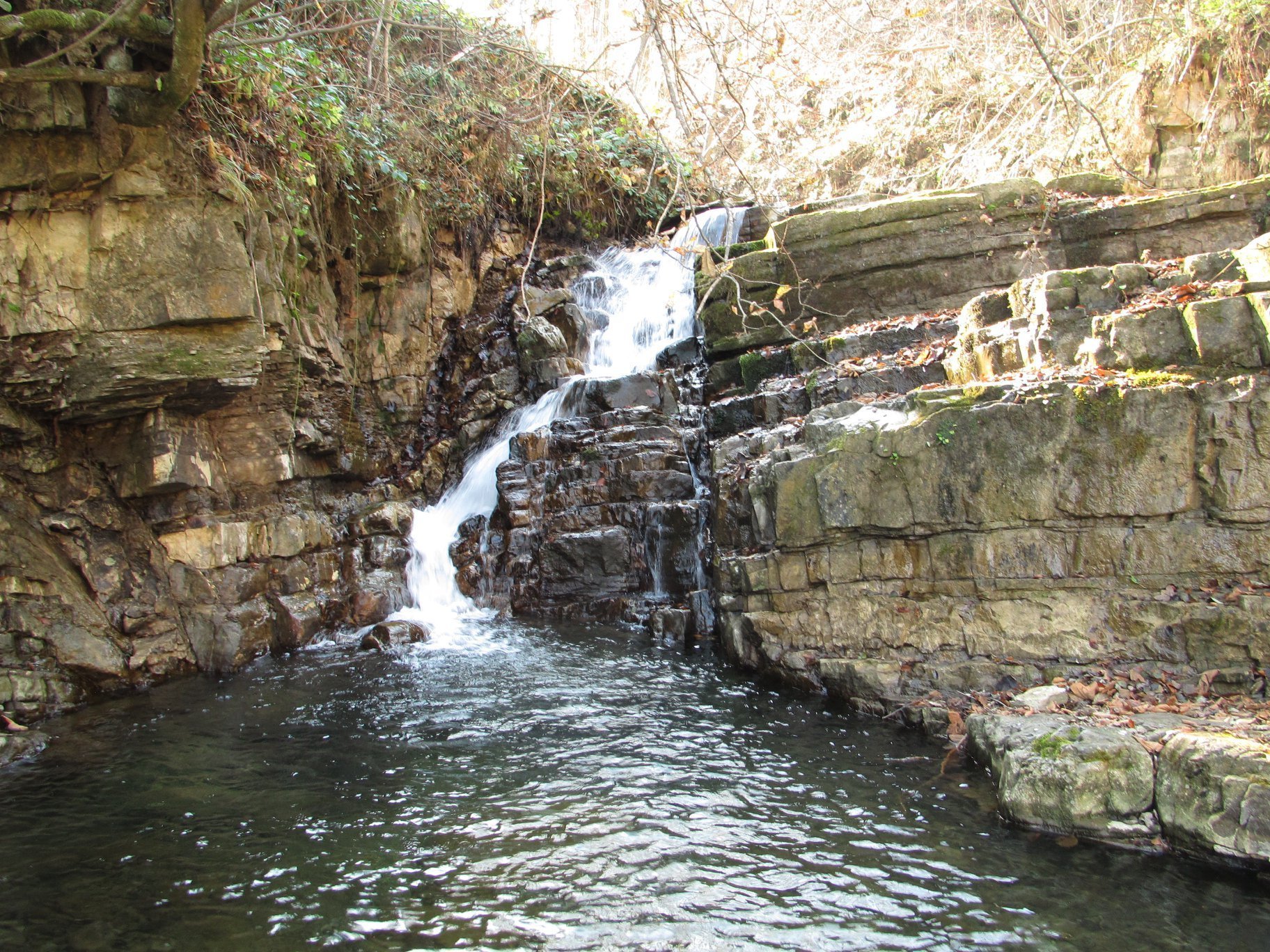
Photo by Alexander Hudyma
A little-known Bukhtivetskyi Verkhniy waterfall is located 300 m upstream of the Bukhtivetskyi waterfall. The height of the waterfall is about 3.5 m.